Improved flood protection for vulnerable Cessnock neighbourhood
Published on 06 December 2024

Multi-million-dollar upgrades to protect homes from inundation in a notoriously flood-prone part of South Cessnock are progressing, as new pictures reveal some of the early improvements.
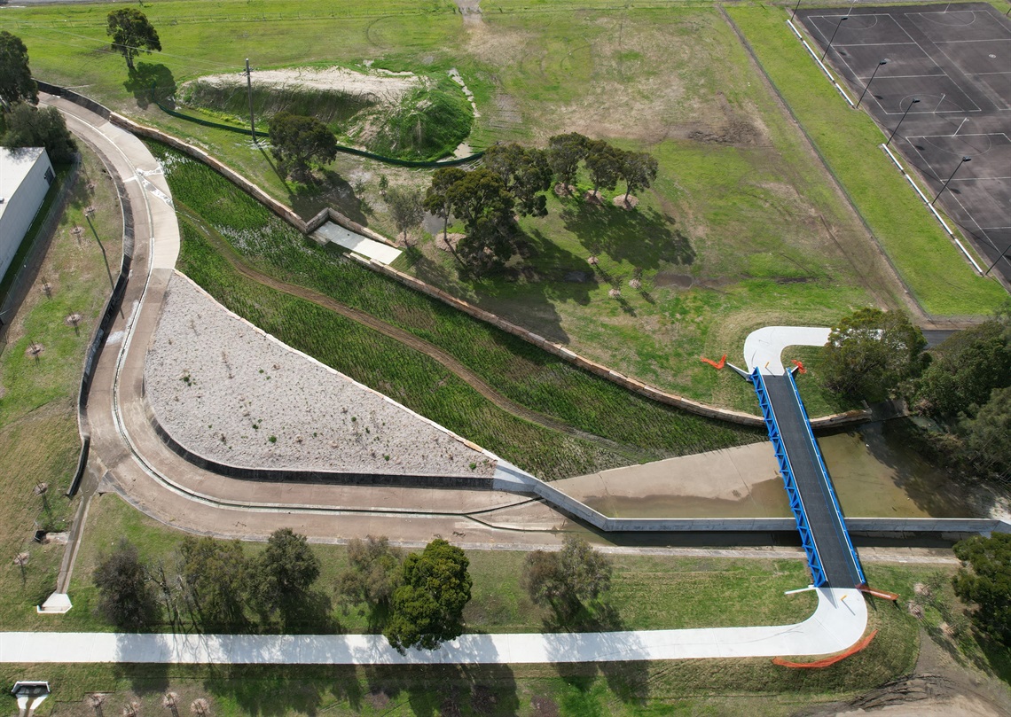
A 470m-long earth bund walland associated drainage structures are being built from the Quarrybylong and McFarlane Street intersection south towards Evans Street, as part of the second stage of Cessnock City Council’s South Cessnock Flood Mitigation Project.
It comes after the diversion and widening of a waterway downstream from the Kearsley Creek and Oliver Street channels during the first phase of work, which wrapped up in April.
The final stage will involve construction of a small levee parallel to Quarrybylong Street, and the raising of Quarrybylong Street near Edgeworth Street. The project is expected to be complete by September, 2025.
Cessnock City Mayor Dan Watton said South Cessnock has a history of inundation, which has increased over recent decades due to mine subsidence since the 1980s. Significant flood events have occurred in 1990, 2007, and 2017.
"It’s great that Cessnock City Council teams are progressing these upgrades to improve flood resilience," Clr Watton said.
"Without these infrastructure upgrades, 16 homes would be at risk of flooding and 71 residential yards would go under water in a one in one hundred year flood.
"The bund wall lowers the average flood depth by 14cm relative to average pre-subsidence levels and, critically, will provide safer pedestrian access to homes during future one in one hundred year flood events."
The Commonwealth Government, NSW Government, Subsidence Advisory NSW, and Hunter Water are jointly funding the $5,955,000 project.